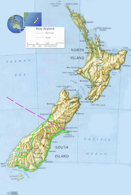
 Here are a few shots of my adopted region for the next few months, hopefully.
Bluff Harbour from Bluff Hill lookout. Looking roughly East.
Bluff is a small Port town at the Southern tip of the New Zealand mainland. Famous for it's oysters it also serves as a ferry terminal to Stewart Island. There is a very large Aluminium plant across the water on Tiwai Point. This has it's own jetty on which a large bulk carrier ship has docked on the left of the frame. Bauxite (Ore) comes from Queensland, Australia.
Due to the large amounts of electricity required to produce Aluminium a hydro electric power station was built a few hundred kms away near Lake Manapouri as a joint project.
 Not far away is the sleepy hamlet of Omaui. Abalone shellfish or 'Paua' as the locals call it can be harvested here at low tide but there are strict quotas and size regulations. No more than 1o per person per day and all over 125mm long
 Invercargill fashion.
 The Oreti River.
 Diffuse rainbow at Sandy Point (Opposite Omaui)


