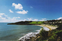
Marjan from Austria and I cycled from Invercargill to Riverton, about 38kms away.

There is a local sculptor who made this stag in the river...

...and this bird perched on a pole. On the left in the water is a maimai - duck shooters hideout.

The garage at home. Fishing rods, bikes and a couple of sheep hanging before being frozen.

A few of us from the hospital made a trip to Te Anau to do the first part of the Keppler track. We hired a helicopter to take a load of coal, food and beer up to the top of the mountain while we walked up. The weather on the way up was glorious.

Lake Te Anau from Brod Bay


Limestone cliffs.

The snowline.


View from above the treeline to Lake Te Anau


Luxmore hut - the accomodation for the first night of the Keppler track.

Relief as we reach the hut.

Whitebait patties - tasty treat.

The dinner.

A good coal fire kept us warm.
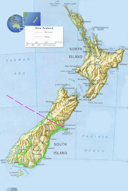

 Just over an hour from Queenstown is the Routeburn track, a several day hiking route through forest and mountains. It begins at the top of Lake Wakatipu and follows the Routeburn river in the Mount Aspiring National Park to the Fiordland National Park in the West. It is approx 35kms long and there are several huts to sleep in along the way which are maintained by the Dept of Conservation. It's a shame the weekends are not longer but e made it to the first hut for a short weekend break.
 Routeburn Flats hut.
 Dinner in the hut. No electricity so wod fire, candles and pasta!
 Excited to be having breakfast in the unspoilt countryside with not another soul for several kilometers. Just a few Paradise shelducks for company.
 Morning cloud.
 Forest moss on an old tree stump.
 The trees are predominantly mountain beech and red beech.
 There is plenty of water around including this attractive cascade.
 The water was some of the clearest I have seen.
 Fungi.