 Lady Bowen Falls. For an idea of the scale on the bottom right of the picture are a group of multi storey tourist boats in the harbour.

 50 storey waterfall close up!
Below, reflection of mountains in water at Mirror Lakes, near Milford Sound

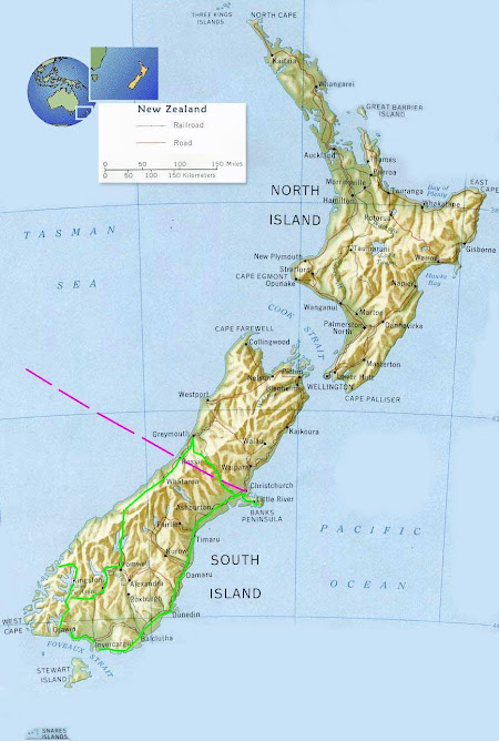
Captain Cook sailed past this large fiord as it is not visible from out to sea. It was several years later when a Welshman Captain John Grono discovered it in around 1812 as he needed shelter from rough seas. He named it after his home town of Milford Haven and it was renamed Milford Sound to match the neighbouring inlets but strictly speaking due to its U shape glacier formed base it is a fiord.
Peaks rise from the sea over 1500m giving a dramatic landscape. This is also one of the wettest inhabited places on earth with a mean annual rainfall of 6,813 mm on 182 days a year! (Thats nearly 7 metres of rain)
We were lucky as there was not a cloud in the sky.


No comments:
Post a Comment