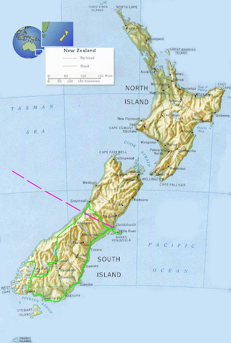
 A few of us from the hospital took an Easter trip up to Geraldine and the Four Peaks country station - a large sheep station with some great hiking trails and tall mountain peaks.
It was a 3 day 45 km hike with accommodation in the old sheep musterers huts which had been kitted out with a few modern comforts such as gas stoves, flushing toilets, hot showers and even an outside bath in one!
I headed up to the top of Devils peak at nearly 1700m and the view was... very foggy! It reminded me of Pen-yFan as so many times I have been up there to squint through fog looking for a view. We did have one cloudless day and great views out to the coast, South to Timaru and towards the Southern Alps.

 Thick native bush made for tricky tramping
 3 quarters of the way up to Fiery Pass, steep track.
 View from near the top looking East over the Cantebury plains towards the South Pacific Ocean.
 View West towards Southern Alps, different countryside as the foothills grow into mountains.
 Looking back up to Fiery Pass on the way to the hut for the end of day 1 hiking
 Lichen
 Reputedly the oldest surviving hut on South Island - approx 1870 I think.
 It's not often one gets the opportunity to have a warm bath looking at the sunset so I made the most of it!
 Enjoying a wine in the afternoon sun.
 Inside the hut - quite comfortable.
 Next day at the summit of Devils Peak, the temperature was dropping.
 Some very interesting Flora
 My only company on the Summit as the others deemed it too foggy to be worth the extra few hours. I accepted the offer of Werthers originals from the tin and signed the guest book
 More Lichen
 This was a very unique plant. It had the appearance of a Jesters hat, appeared to be some sort of fungus. Any ideas? None of us had ever seen anything like it before.


No comments:
Post a Comment